
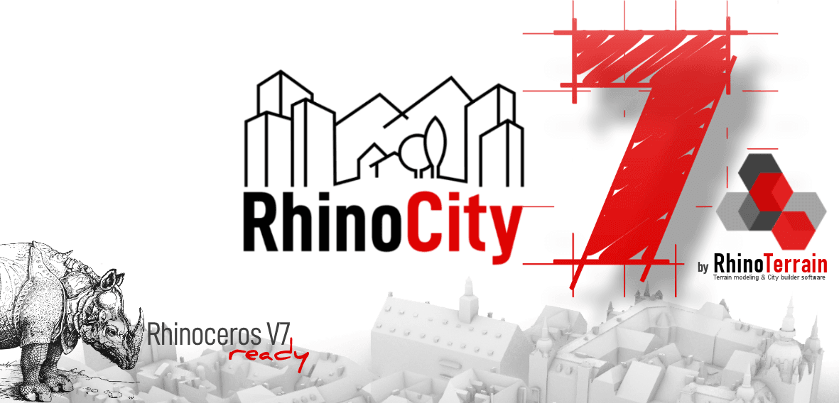
RhinoCity 7
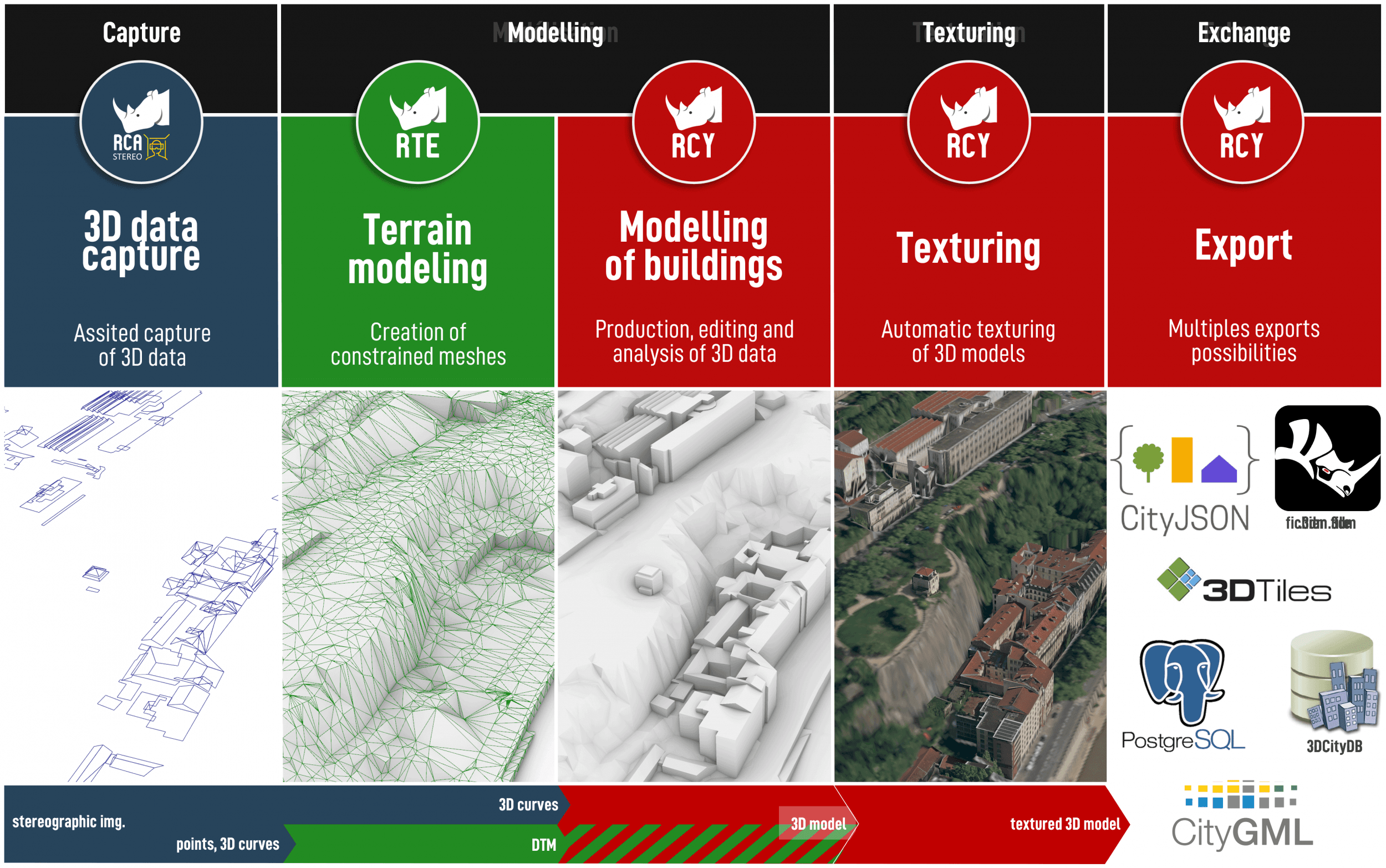
RhinoCityTM 7 is released!The new version of RhinoCityTM compatible with Rhinoceros 7 is released.Henceforth, the version number of our solutions will be synchronized with the Rhinoceros compatible version.Therefore, RhinoTerrain SAS team is proud to present RhinoCityTM 7 !This new version is the result of many months of development during which we had for main goal:
- to optimize and consolidate RhinoCityTM main features
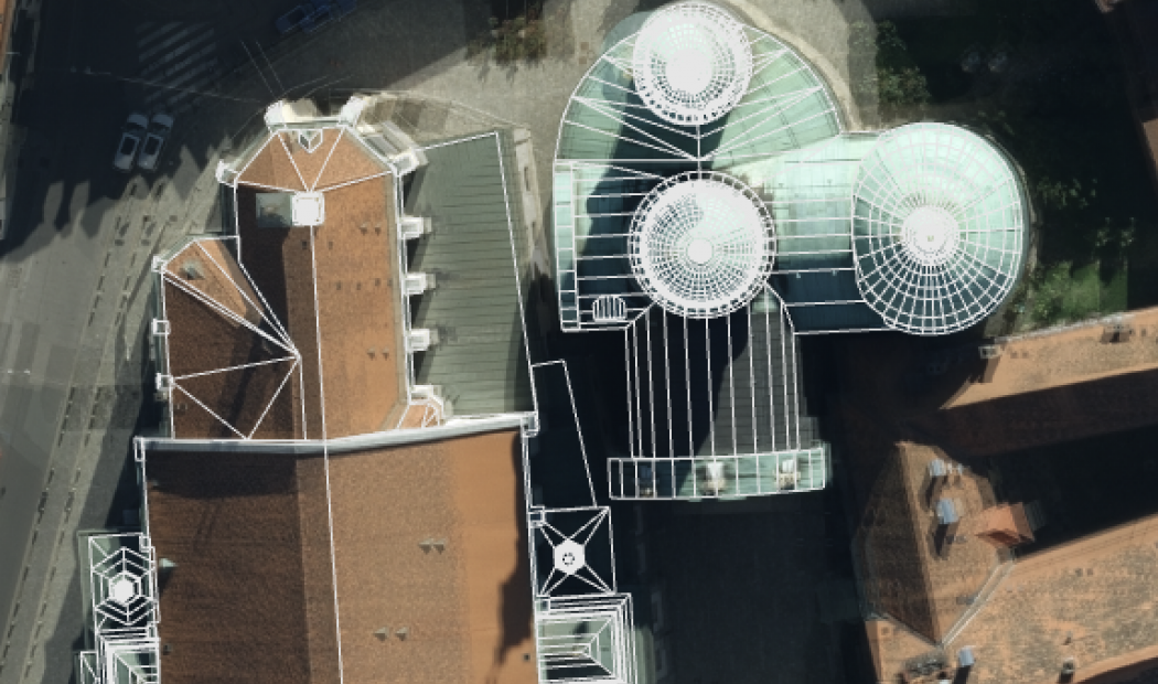
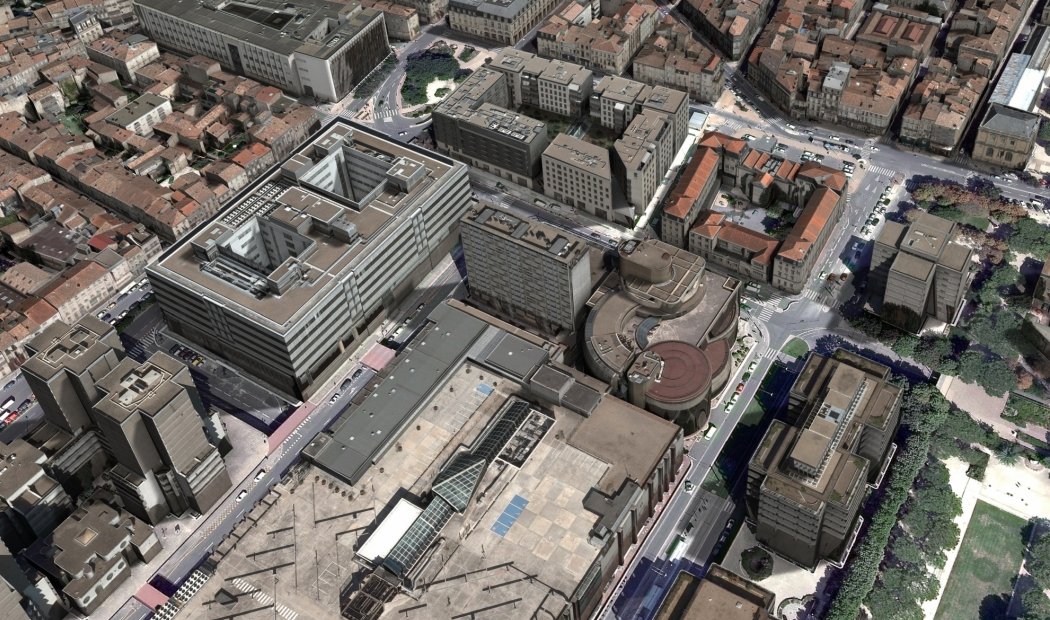
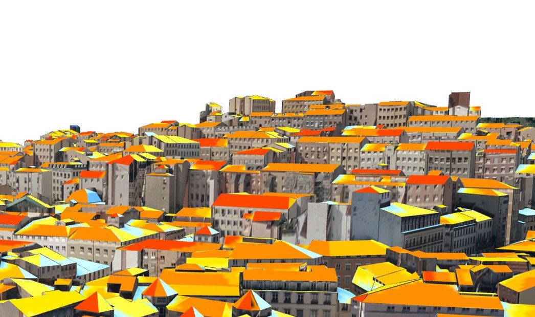
- to bring new solutions in terms of modeling, texturing and compatibility with new formats and storage solutions.You will discover new possibilities to import CityJSON format, to create 3DTiles and to store into 3dCityDB databases among other new features.We will have the opportunity, in the coming weeks, to present to you one by one and in detail all these new features.If you own a maintenance contract, we will contact you shortly to help you deploy this new version "7".
- to optimize and consolidate RhinoCityTM main features
- to bring new solutions in terms of modeling, texturing and compatibility with new formats and storage solutions.You will discover new possibilities to import CityJSON format, to create 3DTiles and to store into 3dCityDB databases among other new features.We will have the opportunity, in the coming weeks, to present to you one by one and in detail all these new features.If you own a maintenance contract, we will contact you shortly to help you deploy this new version "7".


")


