
RhinoCity
Produce, edit,
analyze and
texture 3D data
analyze and
texture 3D data

 Featuring a unique building modeler and extensive automatic texturing capabilities, RhinoCity™ is the ideal tool to produce high quality, textured 3D data that can be used directly in CityGML format.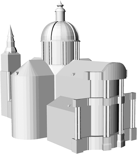
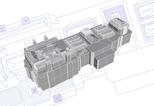
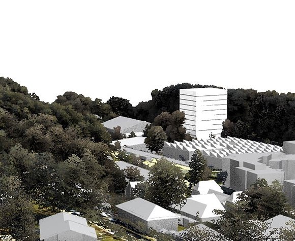


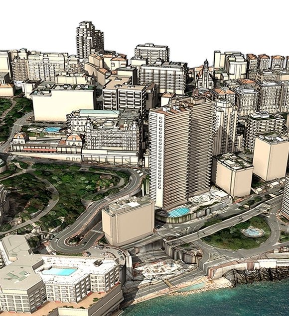
| MONACO, 3D DIGITAL MODEL Courtesy of: Monaco principaty (MO) |
 CityGML is an official international standard of the Open Geospatial Consortium (OGC).It is both a data model and an interchange format for storing digital 3D models of urban environments.It defines different levels of details (LOD). These allow the use of different representations of 3D objects according to their uses, from vizualization to simulation (energy, mobility, housing, services...).Read more...
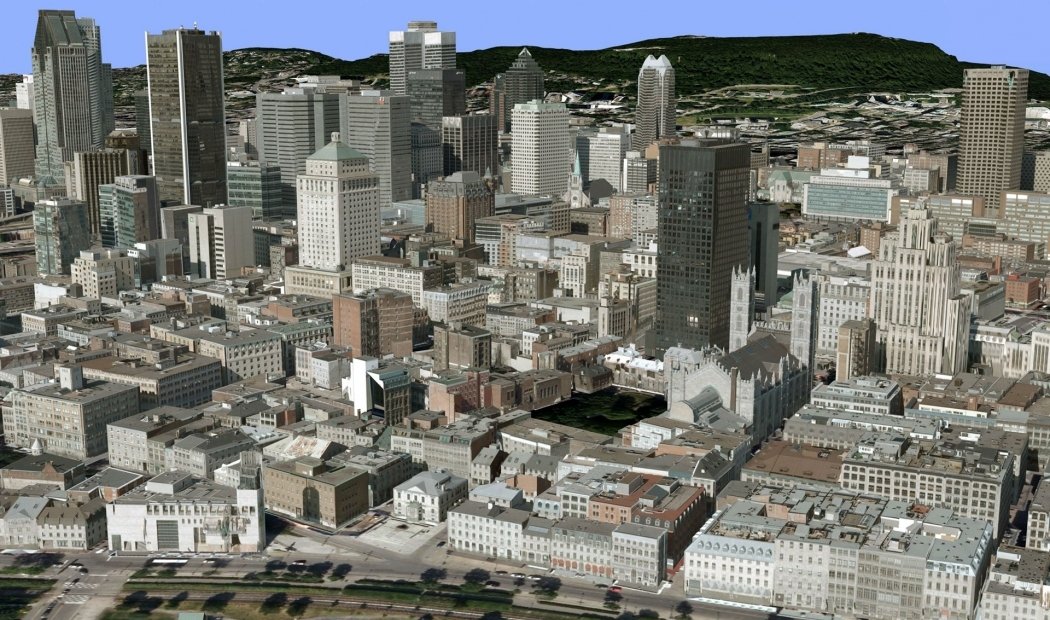
| textured cityGML 3D model Courtesy of : City of Montréal (CA) |
 |
Detect unclosed polygons |
 |
Detect self-crossing polygons |
 |
Detect vertical polygons |
 |
Control and unify direction |
 |
Dissolve polygons |
 |
XYZ Snap |
 |
Detect vertical segments |
 |
Remove duplicated points |
 |
Detect duplicated polygons |
 |
Divide 3D polygons |
 |
Snap polygons |
 |
Control and edit coplanarity |
 3D Tiles is an open specification designed for streaming heterogenous 3D geospatial content.Submitted to the Open Geospatial Consortium (OGC) by a team led by Cesium, the OGC has approved the 3D Tiles Specification 1.0 for adoption as Community Standard.RhinoCity™ allows the 3D Tiles export of your 3D textured data !The 3D models produced are exportable to in this new format, exploiting these most advanced features :
  Draco is an OpenSOurce extension developed by Google to compress and decompress 3D meshes.Compression of vertices, normals, colors and texture coordinates dramtically improve the speed of transmitting 3D content on the Web.
 The glTF is the result ot the Khronos Group consortium that already initiated the specifications of Collada, Vulkan et OpenGL.Sometimes presented as the "3D JPEG" glTF can minimize the size of 3D scenes described and therefore minimize the time of loading and rendering, espacially on the Web.
 A complete GIS core : definition of feature classes, attribute creation and editing.
 Full compatibility with the SHP format with many tools dedicated to management of data at ESRI formats (inputs and outputs)
 Several import/export capacities : CityGML, PostgreSQL, 3DCityDB, Shapefiles, GeoDatabase