RhinoTerrain
terrain modeling aND city builder software
We develop a range of software dedicated to 3D GeoModeling answering the needs of various application domains : GIS, Civil Enginnering, 3D Engineering, Photogrammetry, Solar Calculations.
We develop a range of software dedicated to 3D GeoModeling answering the needs of various application domains : GIS, Civil Enginnering, 3D Engineering, Photogrammetry, Solar Calculations.
digital terrain modeling
The creation of a Digital Terrain Model (DTM) is a fundamental step in any study and development project.
RhinoTerrain™ offers all the functionalities necessary to anyone interested in 3D visualization of Digital Elevation Models :
- Efficient computation
- Perfect geometry and topology
- Optimization of raw data
- Edition and analysis of created models

A UNIQUE 3D stereo digitizer
RhinoCapture™ provides photogrammeters with new assisted input tools. Coupled with a 3D stereoscopic station, the use of parametric roof models facilitates the input and guarantees the effortless production of topologically accurate geometric data, respecting the constraints of coplanarity and orthogonality.

produce, edit, analyze and texturate 3d data
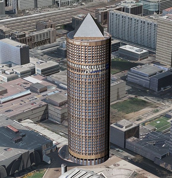
By using a unique and innovative 3D building modeler and having extensive automatic texturing capabilities, RhinoCity™ is the ideal tool for poducing high quality 3D textured data that can be directly used in CityGML format.
Using RhinoCity™ offers commands :
- Import and export to many 3D formats
- Automatic texturing from aerial images
- Creating, editing, importing and exporting GIS data
- Tools for controlling and editing 3D geometries
- Automatic 3D modeling with a unique and innovative modeler
- Production of 3D Tiles
- Creation, import and export of data in CityGML format
reveal the solar potential of your infrastructures
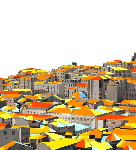
Turning the solar energy received by a surface into electricity is a major challenge for cities looking for a quick and efficient transition to sustainable energy systems.
From a complete 3D digital model including terrain, vegetation, buildings and any other potentially "masking" elements, RhinoSolar™ allows to evaluate the solar potential of your infrastructure.
