
The CityGML is a data model, as well as a standardized, open exchange format for storing digital 3D models of cityscapes. It is defined as a GML3 application schema, a derivative of XML for encoding, manipulating, and exchanging geographic data.
It is an official international standard of the Open Geospatial Consortium (OGC).
 The aim of the development of the CityGML format was to reach a common definition of the entities, attributes and basic relationships of an urban 3D model in order to :
- Facilitate, at lower cost, the maintenance of 3D models
- To ensure maximum durability
- To increase the possibilities of exchanges of this 3D model between heterogeneous systems
- To allow the exploitation of these models in different fields of application
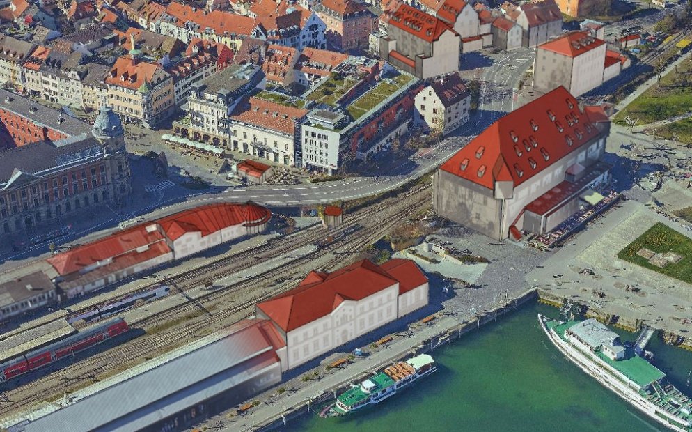
A a member of the "3D OK" group when it was created, RhinoTerrain has always adopted and promoted the use of interchange formats allowing the greatest possible interoperability.In fact, we contributed to the adoption by our users of the CityGML format of which we are now recognized specialist.Thanks to RhinoCity™, our users have created the 3D models of more than twenty cities around the world such as Montréal, Monaco, Strasbourg, Lyon, Rennes, Neuchâtel, etc... That's more than 5 million buildings !Discover RhinoCity
The CityGML format defines different levels of details (LOD).These allow the use of different representations of 3D objects according to their uses, from vizualization to simulation (energy, mobility, housing, services...).RhinoCity™ can import, create and export in CityGML a 3D model having LOD1, LOD2 and LOD3. level of detail elements.
| CiTYGML 3D building at LOD3 (overhangs, balcony, doors, windows represented) Produced by RhioCity |