Unique, robust and reliable
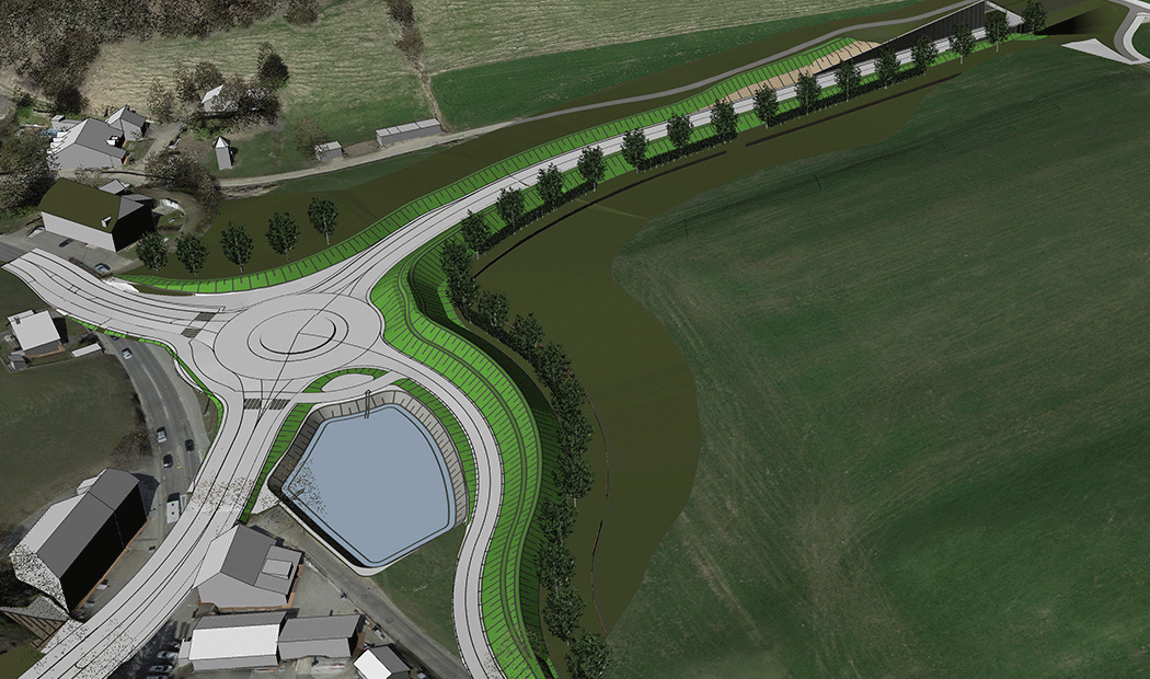
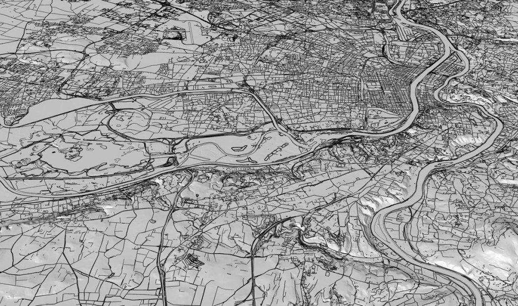
Based on a completely unique, robust, and reliable constrained triangulation algorithm, rhinoTerrain is capable of processing very large volumes of data.
A Digital Terrain Model (DTM) can be calculated from clouds of tens of millions of points obtained from terrestrial scanners or LIDAR aerial laser surveys and can include an unlimited number of break lines.rhinoTerrain guarantees :
- Computing power
- Geométric accuracy
- Optimization of incoming data
- Editing and analysis of created models


