

What if your data became an interactive digital twin?
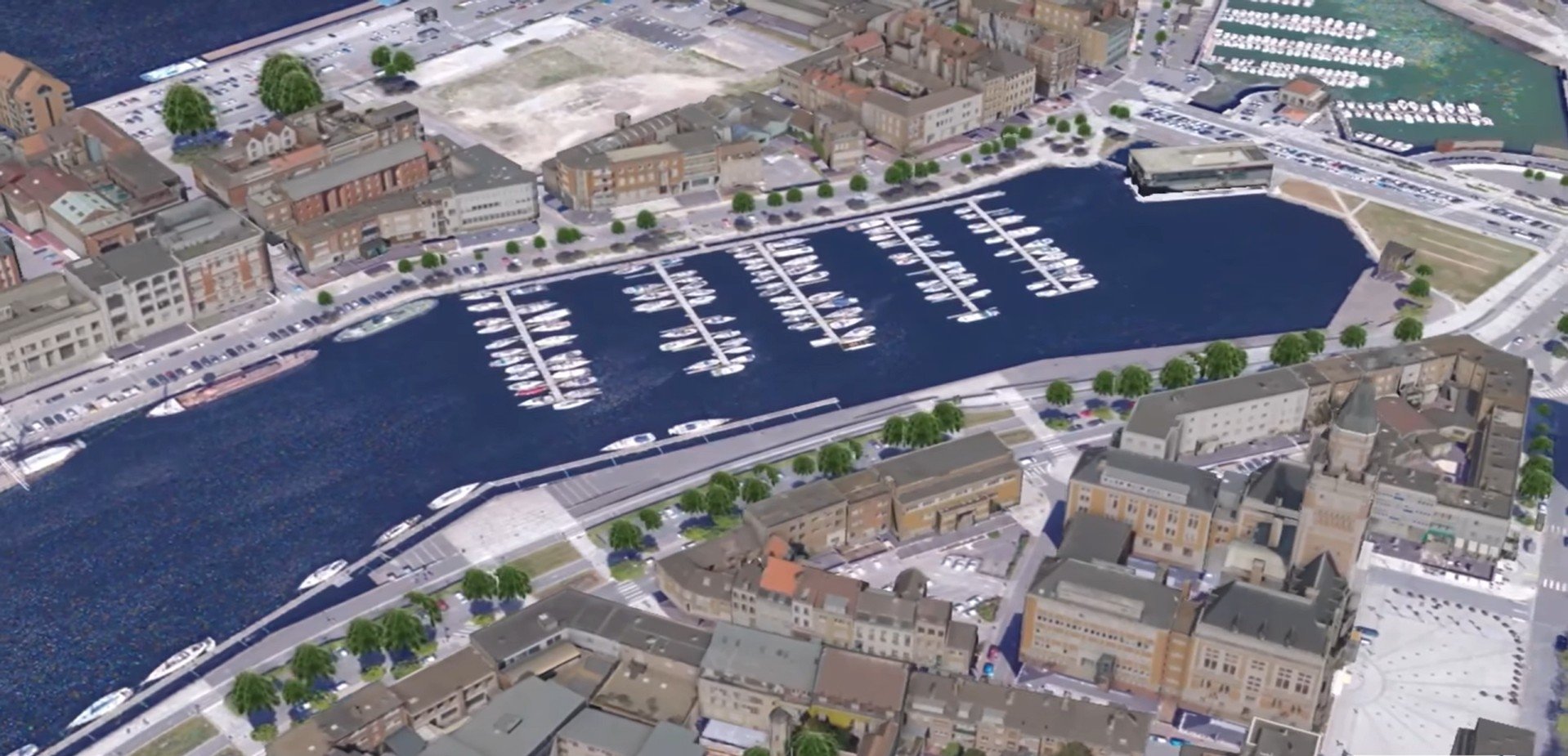
What if your data became an interactive digital twin? RhinoCity now enables many territories to harness the potential of their data through 3D modeling integrated into GIS, as demonstrated by this superb project in Dunkirk in collaboration with AERODATA France and Esri. Watch here the video of the 3D twin of Dunkerque built with the help of RhinoCity : https://www.linkedin.com/posts/aerodata-france_jumeaunumaezrique-maquette3d-sig-activity-7381320157215891456-gTcH?utm_source=social_share_send&utm_medium=android_app&rcm=ACoAABniqiYBKYpOIZgpwfHvWSCuxrUyKjVLGZk&utm_campaign=copy_link Need 3D mockups with cadastral or stereographic data? RhinoCity is the solution.